AI-driven results. Proven exploration impact.
Explore detailed case studies showcasing advanced AI integration, seismic analysis, and geospatial mapping—delivering measurable efficiency and accuracy for resource exploration leaders.

Explore detailed case studies showcasing advanced AI integration, seismic analysis, and geospatial mapping—delivering measurable efficiency and accuracy for resource exploration leaders.
![[interface] image of a computer showcasing educational software (for a edtech)](https://webflow-prod-assets.s3.amazonaws.com/image-generation-assets/99b1dd28-ec0a-44dc-83c4-53642bb3b165.avif)

![[interface] image of a computer showcasing educational software (for a edtech)](https://webflow-prod-assets.s3.amazonaws.com/image-generation-assets/4f06c50f-b948-4bad-bc6a-714a33cc1b61.avif)

![[background image] image of an academic setting (for a university)](https://webflow-prod-assets.s3.amazonaws.com/image-generation-assets/cfc07c7f-2a78-4cd8-8e64-9e6f9952b4ec.avif)
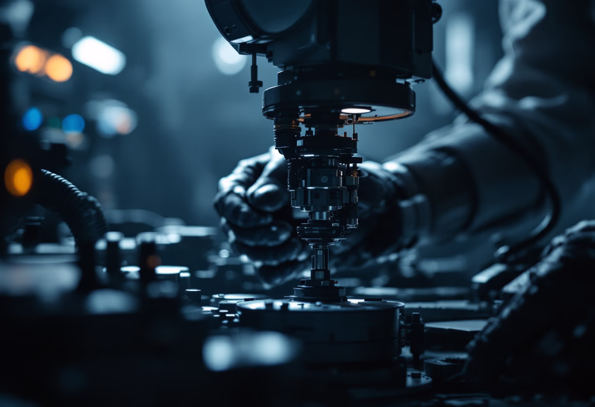
GeoMiner AI enabled our team to reduce exploration costs by 38% and accelerate project timelines. The integration of real-time seismic analysis and geospatial mapping provided actionable insights, improving drilling accuracy and minimizing operational risk.
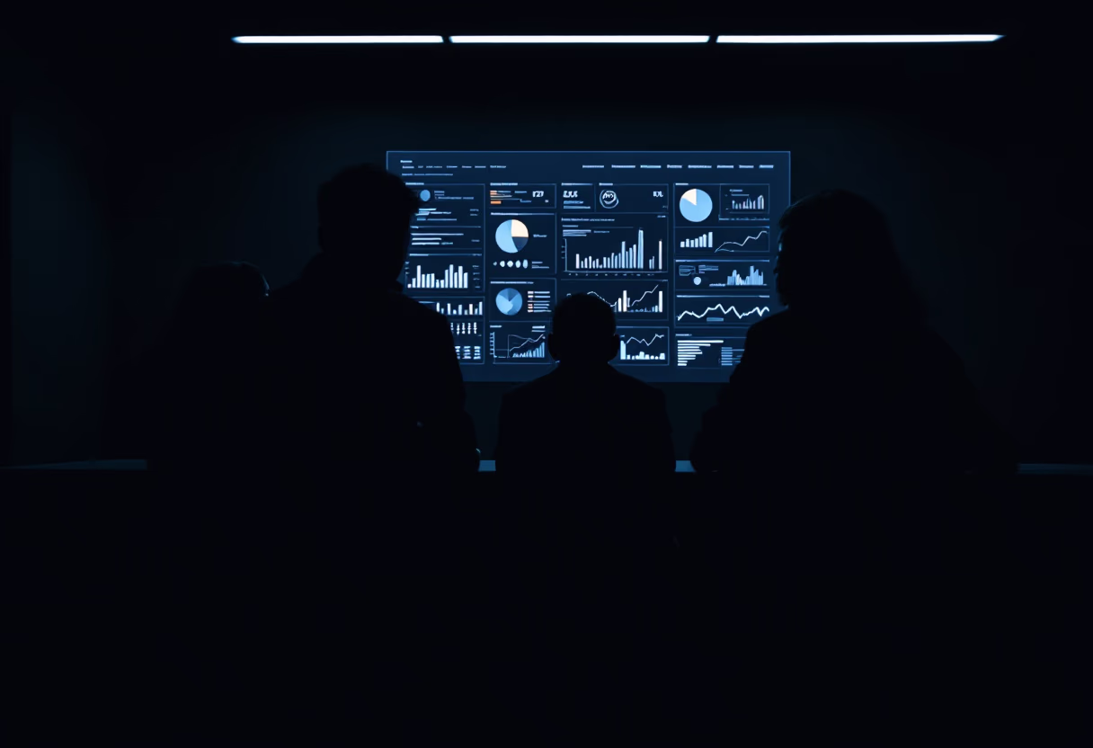
Leveraging advanced AI-driven mineral prediction, we achieved a 75% increase in discovery success rates. The platform’s comprehensive data integration streamlined our workflow and delivered precise, reliable results for our exploration initiatives.
The real-time seismic interpretation tools significantly reduced our error margin and improved resource allocation. GeoMiner AI’s 3D visualization capabilities offered unparalleled clarity, supporting more informed decision-making throughout the project lifecycle.
By utilizing AI-powered geospatial mapping, we enhanced terrain classification accuracy to over 90%. This technology enabled our agency to optimize environmental monitoring and resource management with greater efficiency and confidence.
Enhance accuracy, reduce costs, and accelerate discovery with advanced geoscience AI solutions.
![[background image] image of a modern office space (for a ai healthcare company)](https://webflow-prod-assets.s3.amazonaws.com/image-generation-assets/16f217cc-2ca8-499e-991b-1e5e93221ae6.avif)