![[interface] image of software interface (for an edtech)](https://cdn.prod.website-files.com/image-generation-assets/e0347e95-2b29-4b96-a9e0-0dc09873c493.avif)


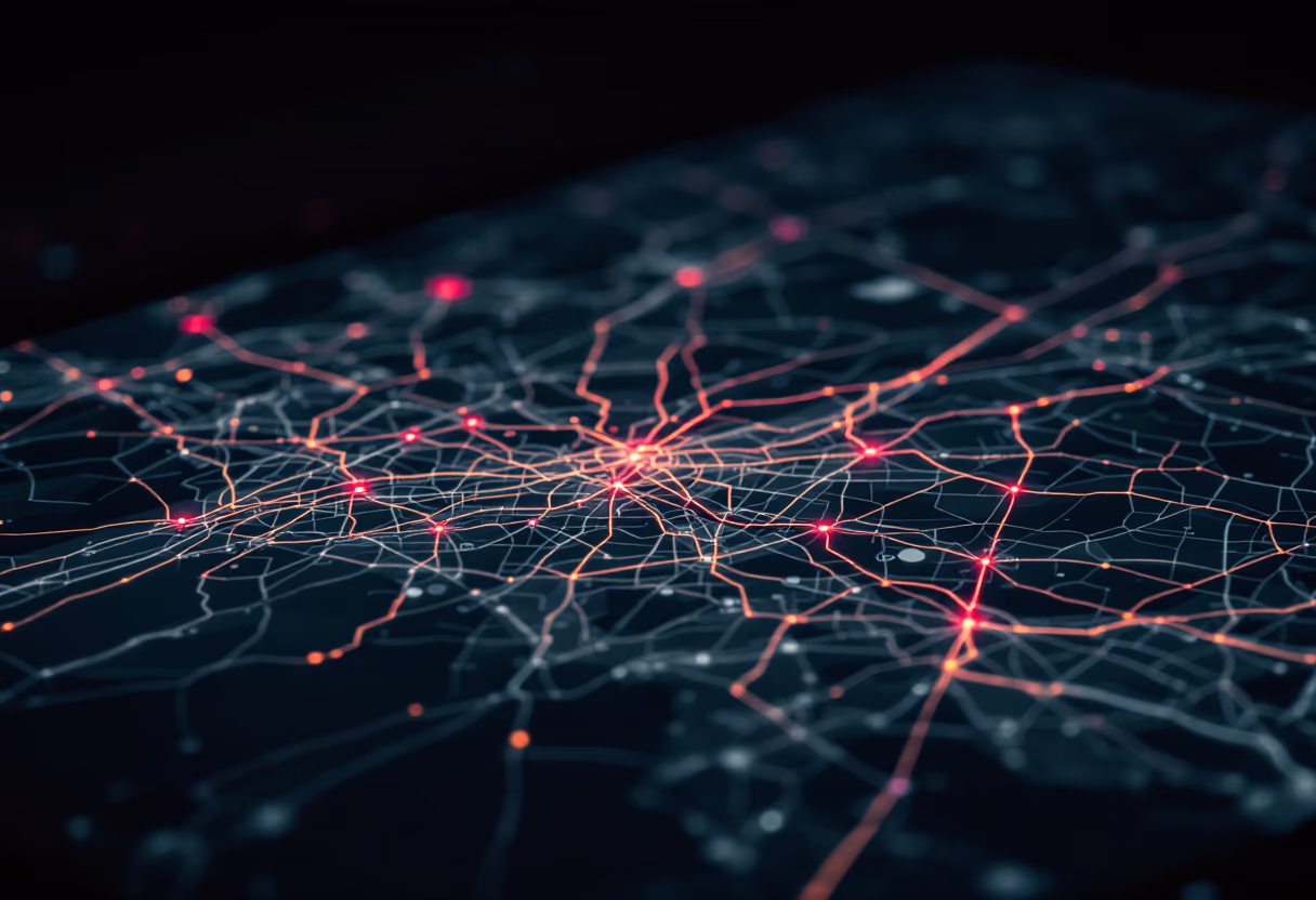
Dig Deeper with GeoMiner.AI
Cutting-edge research, case studies, and industry trends reshaping exploration.
Get startedCutting-edge research, case studies, and industry trends reshaping exploration.
Get startedStay informed with the latest advancements in AI-powered mineral exploration, seismic data interpretation, and geospatial mapping. Our articles provide in-depth analysis and practical guidance for professionals in mining, oil & gas, and renewable energy sectors.
Explore industry trends, case studies, and expert perspectives on integrating remote sensing, geochemical, and geophysical data for improved accuracy and efficiency. Learn how real-time analytics and 3D visualization are transforming resource discovery and operational workflows.
Access comprehensive updates on market growth, technology benchmarks, and regulatory developments. Our blog is designed to support decision-makers seeking reliable information and actionable strategies for optimizing exploration outcomes.
Explore the latest advancements, case studies, and expert analysis in geoscience, mineral exploration, and seismic data interpretation.

Discover how advanced algorithms are transforming seismic data interpretation, reducing errors, and accelerating exploration timelines.
Learn how remote sensing and AI integration deliver high-precision mineral prediction and terrain classification for exploration projects.

Explore the impact of LiDAR and geospatial mapping on resource management and environmental monitoring accuracy.
![[team] image of designer in studio (for a jewelry store)](https://cdn.prod.website-files.com/image-generation-assets/a345ada8-cde9-4ee2-a806-dfce3b778471.avif)
See how AI-powered drilling optimization cuts failures and costs, improving success rates in mineral and energy exploration.

Understand the benefits of combining geochemical and geophysical data for more accurate mineral exploration outcomes.
![[headshot] image of customer (for an author & writer)](https://cdn.prod.website-files.com/image-generation-assets/9c7f37ee-52d8-43b0-9494-60c44d59c64d.avif)

A review of how oil & gas companies leverage AI to streamline seismic interpretation and reduce operational expenses.
![[headshot] image of customer (for a chinese restaurant)](https://cdn.prod.website-files.com/image-generation-assets/bf0a2138-8929-4088-aa10-bb621a2dd35d.avif)

How 3D visualization tools enhance clarity and decision-making in geological mapping and resource management.
![[headshot] image of customer (for an auto dealership)](https://cdn.prod.website-files.com/image-generation-assets/fbb42b82-167d-4163-9e13-3802576bd06a.avif)

Insights into the rapid expansion of the geospatial AI sector and its impact on mining and energy industries.
![[headshot] image of community member (for a hindu temple)](https://cdn.prod.website-files.com/image-generation-assets/b66d8bd8-351b-4720-9f46-0df5b258f09b.avif)

A detailed case study on how AI integration led to significant cost savings and improved discovery rates.
![<subject>[headshot] image of customer (for a productivity tools business)</subject>](https://cdn.prod.website-files.com/image-generation-assets/4cc4b352-a903-462c-a234-c8db3d5807e3.avif)

Examining the benefits of early adoption of cloud-based, real-time AI solutions for exploration companies.
![<subject>[headshot] image of customer (for a hr tech)</subject>](https://cdn.prod.website-files.com/image-generation-assets/5975713b-e894-4f00-81b8-42b83e918f42.avif)

The role of comprehensive data integration in enhancing accuracy and efficiency for exploration teams.
![[headshot] image of customer (for a construction company)](https://cdn.prod.website-files.com/image-generation-assets/37ddda59-daac-4844-84bd-e876325816df.avif)

Meet the multidisciplinary teams leading advancements in AI, geoscience, and resource management.
![[headshot] image of a customer for an aviation service](https://cdn.prod.website-files.com/image-generation-assets/d1196971-e6bb-4ac4-a1ac-8733b88ea95a.avif)

How advanced analytics support sustainable practices and environmental monitoring in exploration projects.
![headshot of a customer (for a wedding planning service) [headshot]](https://cdn.prod.website-files.com/image-generation-assets/b447257d-5e1f-40d4-8ca3-f64fc570b895.avif)
![[interface] image of a computer showcasing educational software (for a edtech)](https://cdn.prod.website-files.com/image-generation-assets/4f03357b-3643-45d4-8090-85d1f1ea24e1.avif)
Comparing AI-driven exploration results with traditional methods to highlight efficiency and accuracy gains.
![[headshot] image of customer (for a construction company)](https://cdn.prod.website-files.com/image-generation-assets/fe7c0577-9d32-4347-8a6c-e8c376850633.avif)

A guide to regulatory considerations and best practices for using AI and geospatial data in exploration.
![[headshot] image of customer (for a tailors & alteration shop)](https://cdn.prod.website-files.com/image-generation-assets/e663844a-4c50-4b77-bfd1-85ad142faf5c.avif)
![[team]](https://cdn.prod.website-files.com/image-generation-assets/196ecb13-8de8-42aa-b7e8-9e44ad13f7e0.avif)
Forecasting the next wave of AI advancements and their potential impact on the geoscience sector.
![[headshot] image of a happy pet owner after training (for a pet store)](https://cdn.prod.website-files.com/image-generation-assets/34441240-4ddc-4ec1-97b1-5d298c6d919b.avif)
Subscribe for AI-driven geoscience updates, industry trends, and actionable exploration strategies.